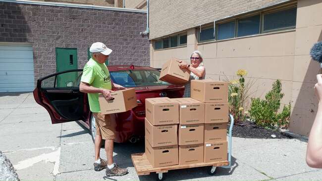
The Hudson Valley was the initial test case for an interactive mapping system developed by the U.S. Department of Defense to plan food-supply disaster response. The system under development by military and federal emergency responders will be used to understand the challenges and weaknesses of a localized food system in times of crisis or natural disasters by pinpointing key locations for food production and community-level distribution.
The U.S. Military Academy gathered data needed to map and assess systems related to critical human needs through the CIS Project: Center for the Study of Civil-Military Operations at West Point.
The project is also instructional. It teaches cadets how to work with civilian entities when offering humanitarian assistance or entering a conflict zone.


