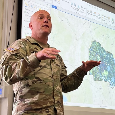
COL Chad Ramskugler ’98, TRADOC Proponent Officer for Geospatial, and MAJ James Jones spoke to West Point Department of Geography & Environmental Engineering cadets. In EV478, Military Geospatial Operations, Ramskugler and Jones discussed the types of geospatial support provided by the U.S. Army Engineer Regiment and the U.S. Army Corps of Engineers, Headquarters. Ramskugler also spoke with cadets in EV398, Geospatial Information Systems, about how GIS skills learned in the classroom will be highly sought after and heavily utilized in the future as Army officers.
The Army TRADOC Geospatial Proponent Office is the Army’s centralized manager for coordination, integration, and synchronization of all Army geospatial information, digital terrain data, and geospatial service requirements.


